From City to Lake

Dam and bridge over the Akerselva at Brekkedammen park near Kjelsås.
With the end of daylight savings time, the days have quickly gotten much shorter. By 16:15 the sun has set, making the rare moments of sunshine all the more precious.

Path around Maridalsvannet.
Lately, we've had a lot of rainy days in Oslo. Last Saturday, I had to take advantage of the decent weather and daylight by going hiking to check out a new area. It was only 37-39˚ F, so I put on my layers and headed out.

A garden 'deer' near Maridalslvannet.
I really didn't have any plans where I was headed for the morning. I just started walking and ended up wandering along the Akerselva north towards Kjelsås. I walked through Brekkedammen park and then decided to explore the area around Maridalsvannet.

Forest pathway.
Normally Brekkedammen park would lead directly to the lake, but currently there is on-going construction to drill a new tunnel into the side of the mountain. Fortunately, there is a path that goes up and around the construction site and turns into beautiful hiking trails.
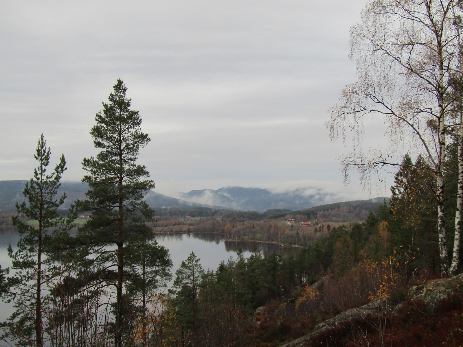
Looking northwards over Maridalsvannet.
Oslo has 170,000 acres of forest parks in the municipality, meaning there are lots of places a short trip from the city center to go hiking. It was about a 45 min walk from where I live to Maridalsvannet, but it is also easily accessible by tram or bus.

The north end of Maridalsvannet.
It was my first time walking around Maridalsvannet, which is the largest lake in Oslo. Maridalsvannet stands for Lake Maridal, and is Oslo's main drinking water source. Everywhere you walk there are signs warning that the lake contains our drinking water, so most all activities are prohibited to protect it.

Photo-op by Maridalsvannet.
I actually didn't even notice any areas where you could go down to the shoreline, but of course there are lots of little streams carrying water down into the lake. No complaints though, because the views looking down across the lake were breathtaking.

Approaching Sander Gård.
As you follow the trail along you come to Sander Gård, or Sander's Farm. The area was first mentioned in texts dating back to 14th century, where the farm was originally divided between one church and monastery. In 1726, Sander Gård grew into a single farm, and was later purchased by the Nordmarka estate in 1806.

The fields of Sander Gård.
Today, the farm has a central house and a couple of barns surrounded by sprawling fields. In some areas, the fields run all the way down to the lakeside.

View of a river that feeds in Maridalsvannet.
Once you pass through Sander Gård, the hiking path disappears and becomes a road. This road then goes the remainder of the way around the lake and back into Oslo. Unfortunately, there are no sidewalks on the road, but quite a few other walkers and bikers travel this way.

View of the lake from Nes Gård.

The fields of Nes Gård beside the lake.
To protect Oslo's drinking water, the city purchased the farm in 1923. Since then, several farmers have occupied and worked the land.

Margaretakirkeruinen (Ruins of St.Margaret's Church).
Margaretakirken or St. Margaret's Church was built around 1250. The church is named after Margaret of Antioch, who is the patron saint for pregnancy and childbirth, peasants, exiles, etc. The church was widely used until the Black Death which killed 3/4 of Oslo's population in 1350. During the 1500s, services were held in the church only a few times a year. The last service took place in 1643, leaving the place to fall to ruins.

Side view of Margaretakirkeruinen.

Maridalsvannet.
As it was coming up on 3pm, I decided it was time to try to get home before the sun set. I walked 3/4 around the lake, but since it was getting dark and the only place to walk was on the road, I didn't want to take my chances by walking much further. I had a little walk down to Hammeren where finally I found a bus stop that would take me back into Oslo.

River flowing down from Hammeren towards the lake.
It was a long, but beautiful walk. If only they had trails along the western side of the lake I would have walked the remainder of the way home. As I was waiting for the bus, I took a look around Hammeren which also has lots of hiking trails. Can't wait to explore more!


No comments:
Post a Comment